The OGI-IT SketchUp tools were developed to enable the import of high-precision terrain data into SketchUp as a 3D mesh.
They also support exporting the edges of a SketchUp group (e.g., a house model) back into a GIS environment. Using a mobile app, these exported edges can be projected onto the actual terrain.
A suitable open-source GIS application for this is QGIS, which also has a companion mobile app called QField. QField supports GNSS antennas with RTK and can achieve centimeter-level accuracy.
The following workflow demonstrates how to use the GeoJSON import and export features.
Preparing the data with QGIS
Let ChatGPT search for some sample data for you, or use the provided one (su-tools-test.zip). I used ChatGPT to get data from data.gv.at
- Coordinate system: EPSG:4326 (WGS 84)
- Heights: Meter above sea level
- Data source: Digitales Geländemodell (DGM) Österreich
- License: Creative Commons Attribution 4.0 International (CC BY 4.0)
Using QGIS add this data layer to a new project:
Since these data uses WGS84 coordinates, we need to transfer into a projection using meters.
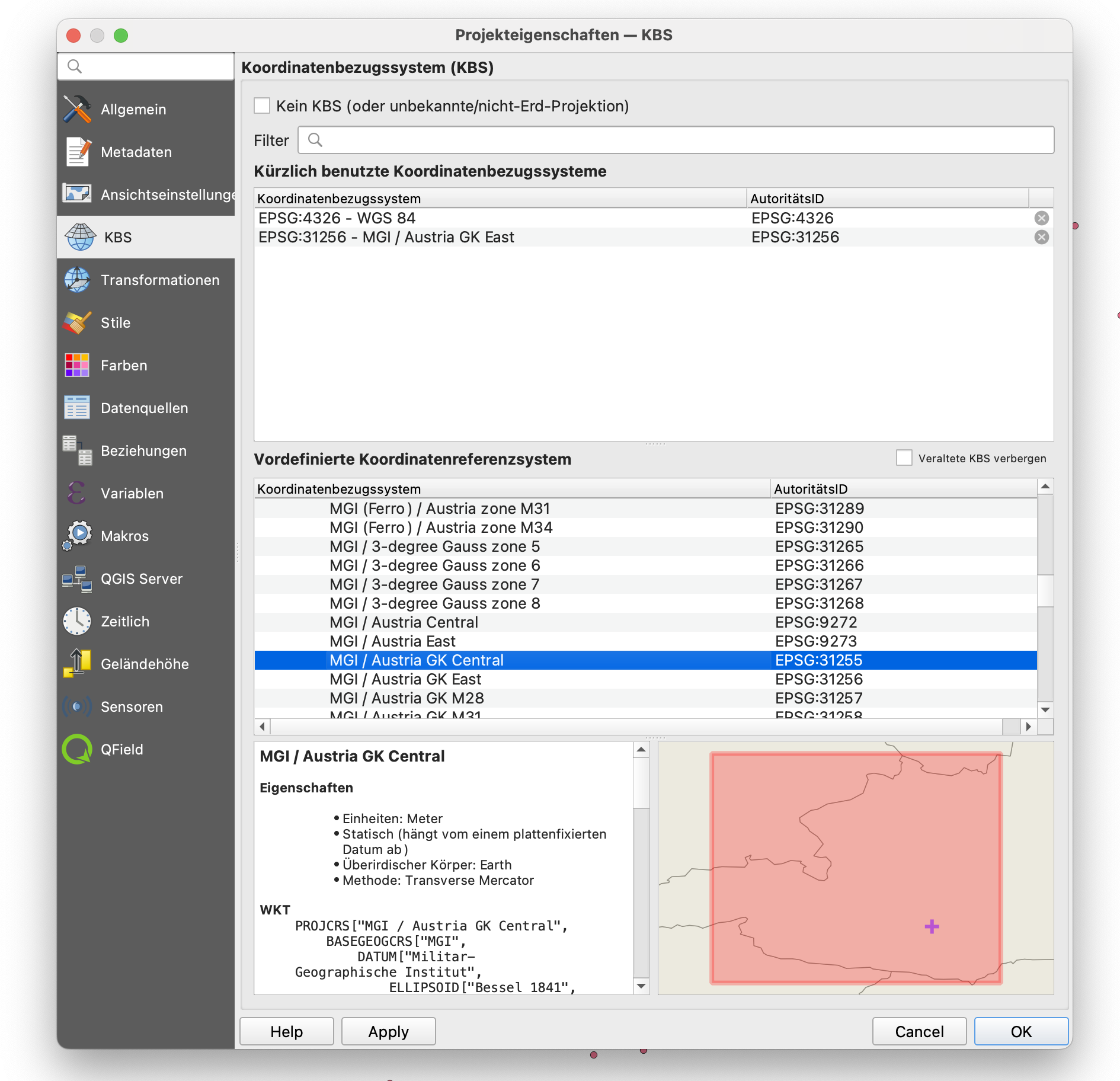
Verify that in the lower right corner EPSG31255 is shown:
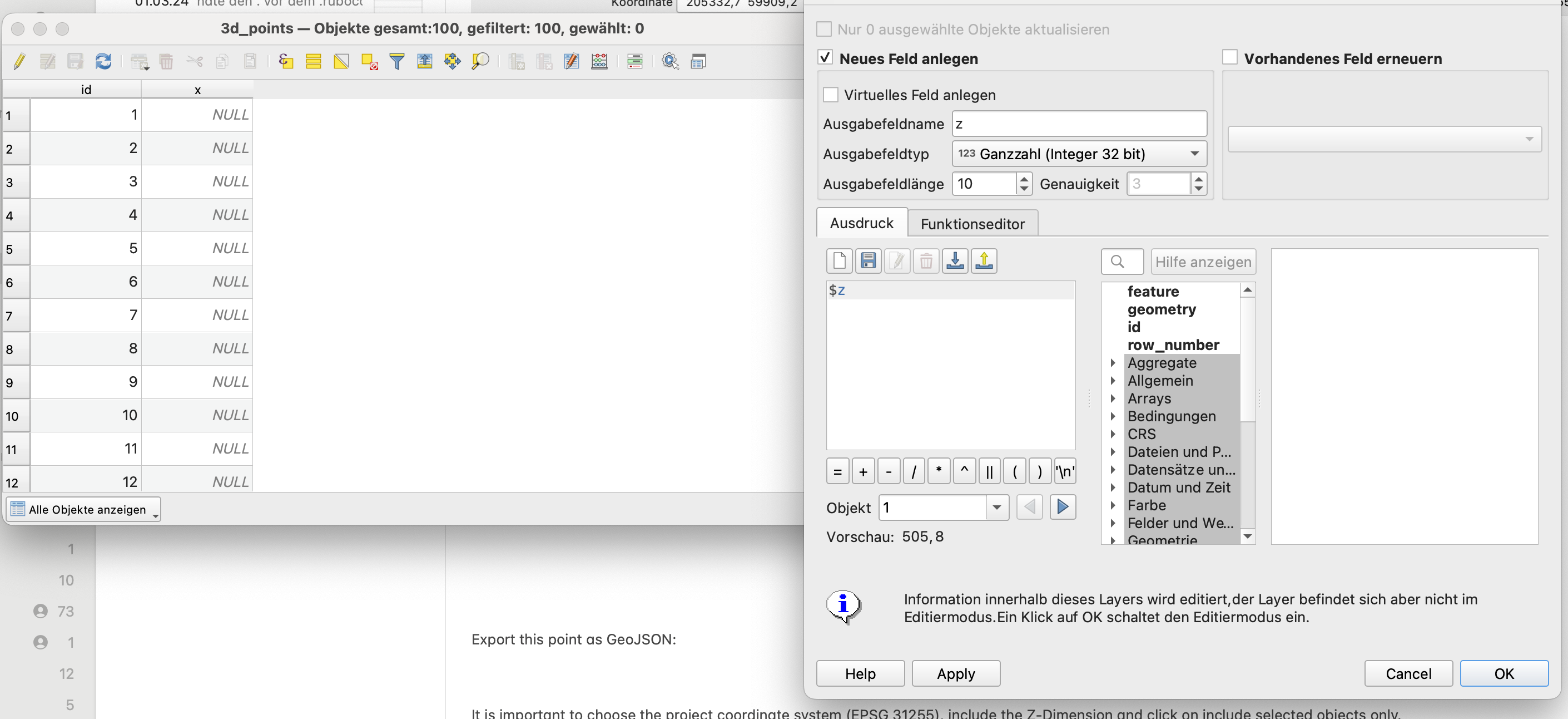
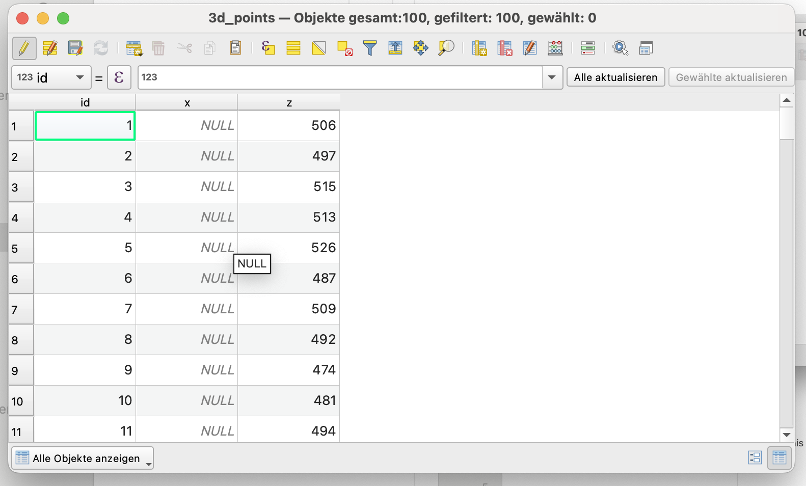
Reassure that there are Z coordinates in the data layer, by temporarily adding this virtual column to the attribute table of the data layer:
The expression to get the z value is $z:
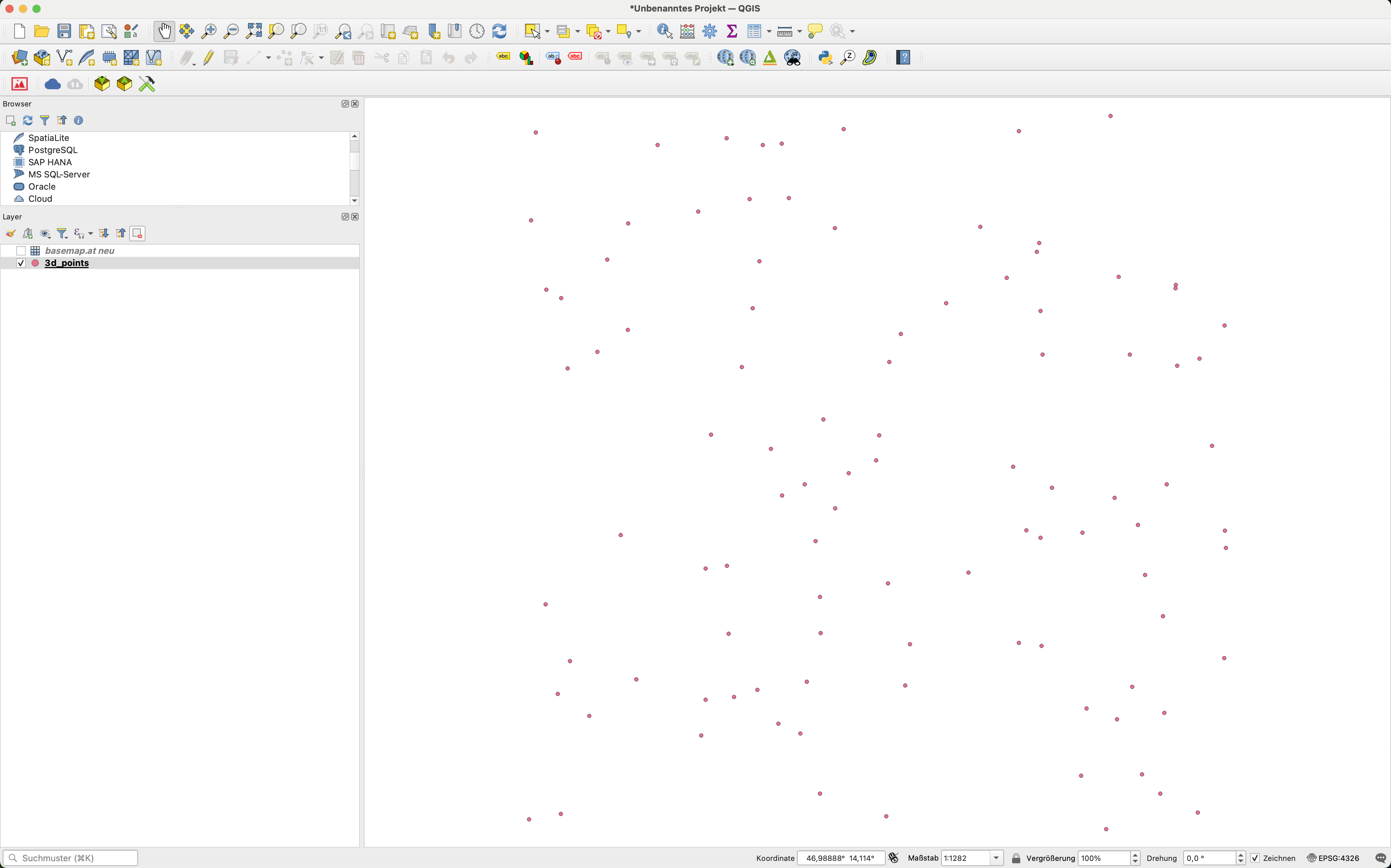
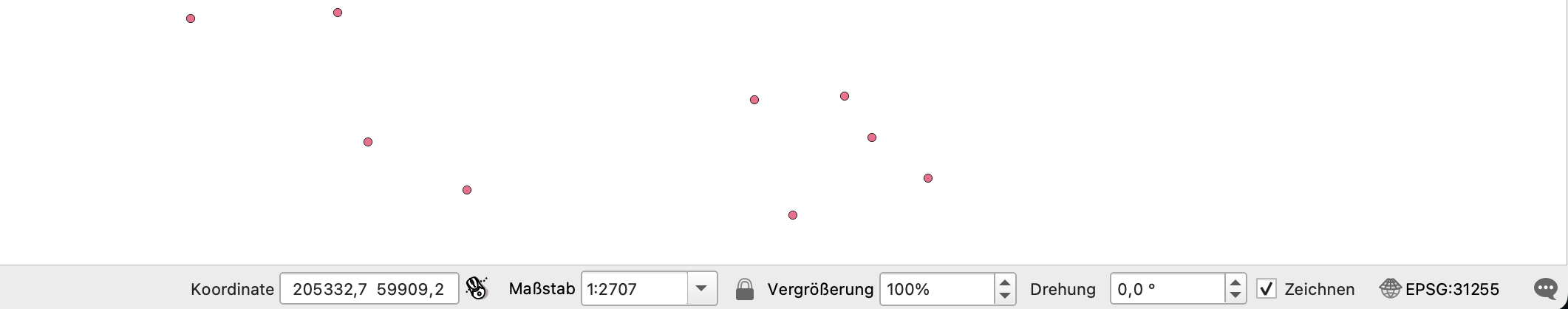
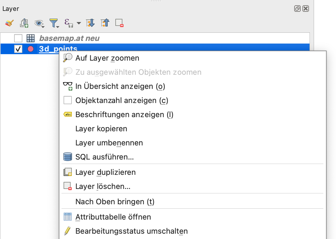
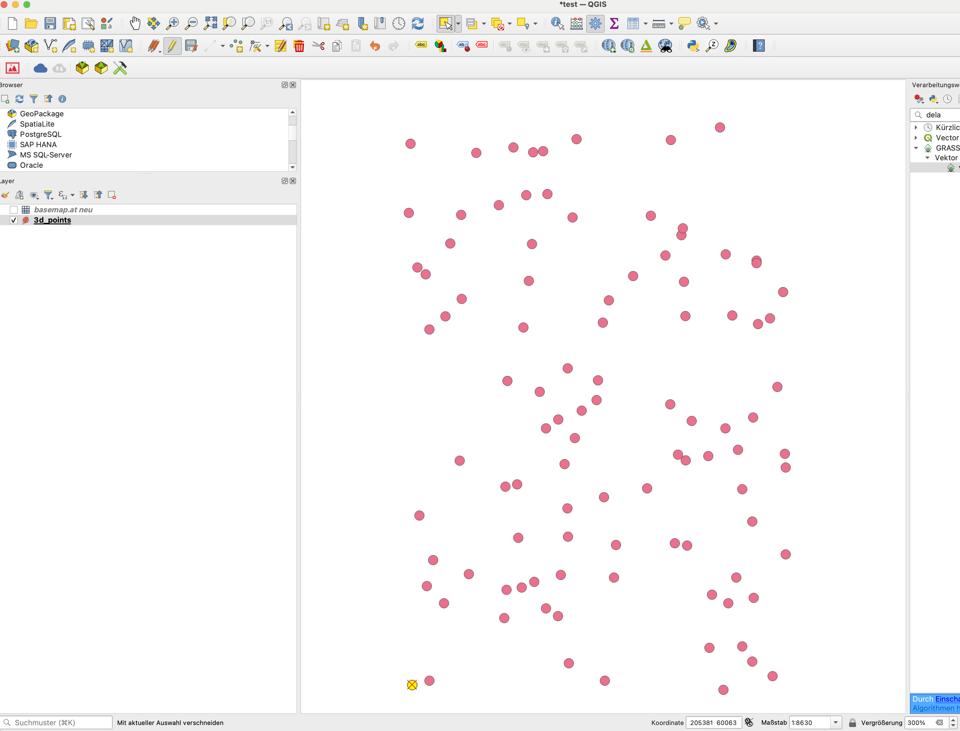
We need to export a point serving as the SketchUp origin point (0,0,0). I’ll call it reference point REFP. Therefore, select a single point only and export it into a GeoJSON file. To better see the selected point you can increase the zoom level to, e.g., 300% (see lower right edge of the following picture):
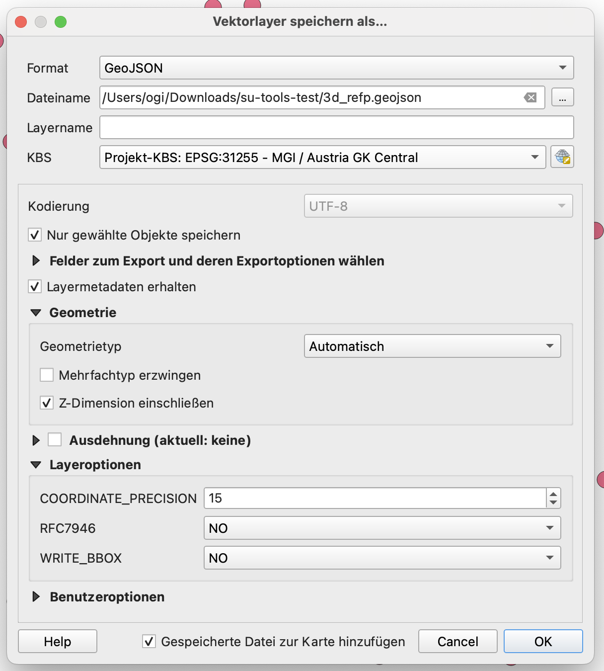
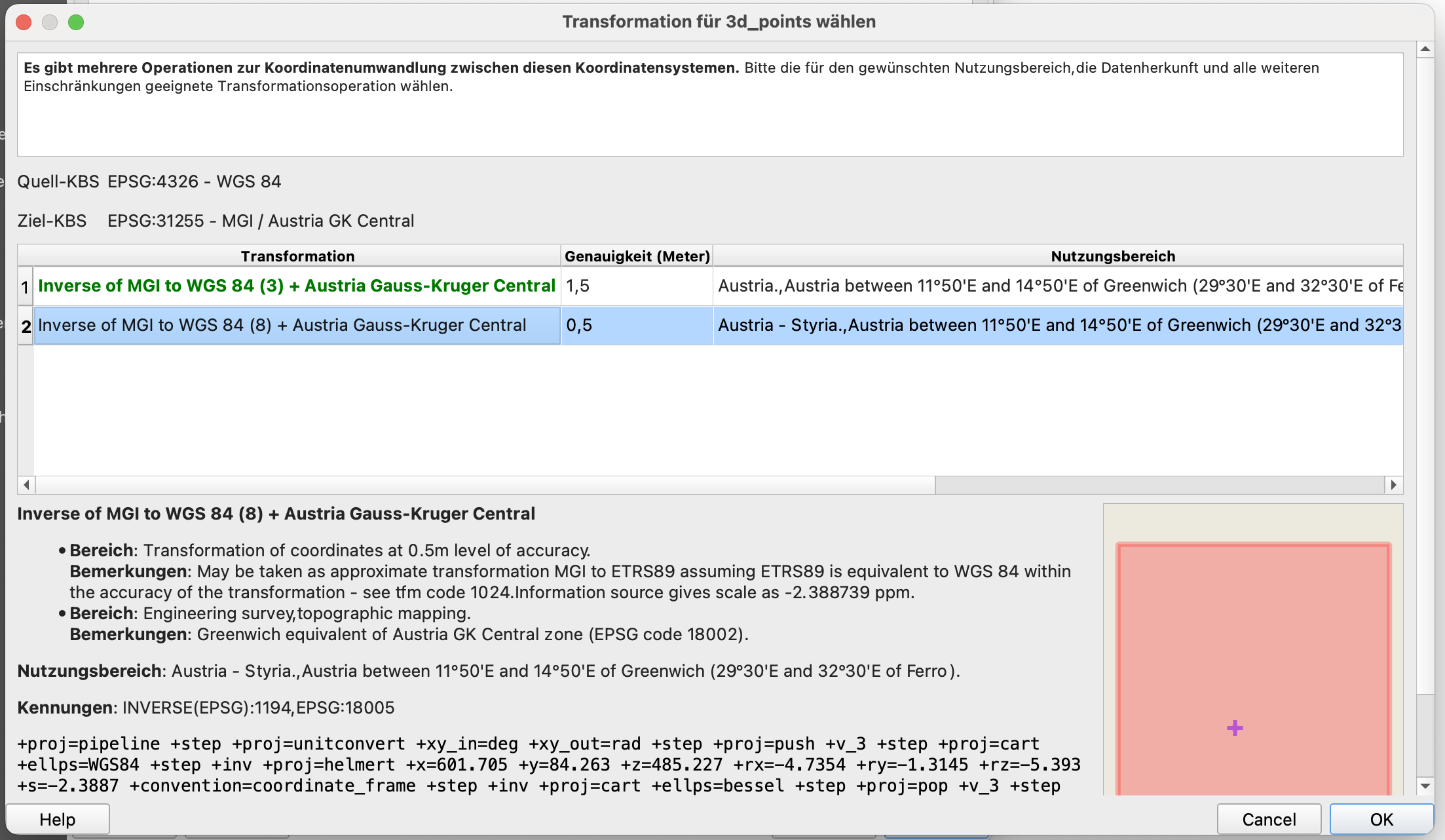
It is important to choose the project coordinate system (EPSG:31255), include the Z dimension, and click on “Include selected objects only”. So the GeoJSON file contains this point only.

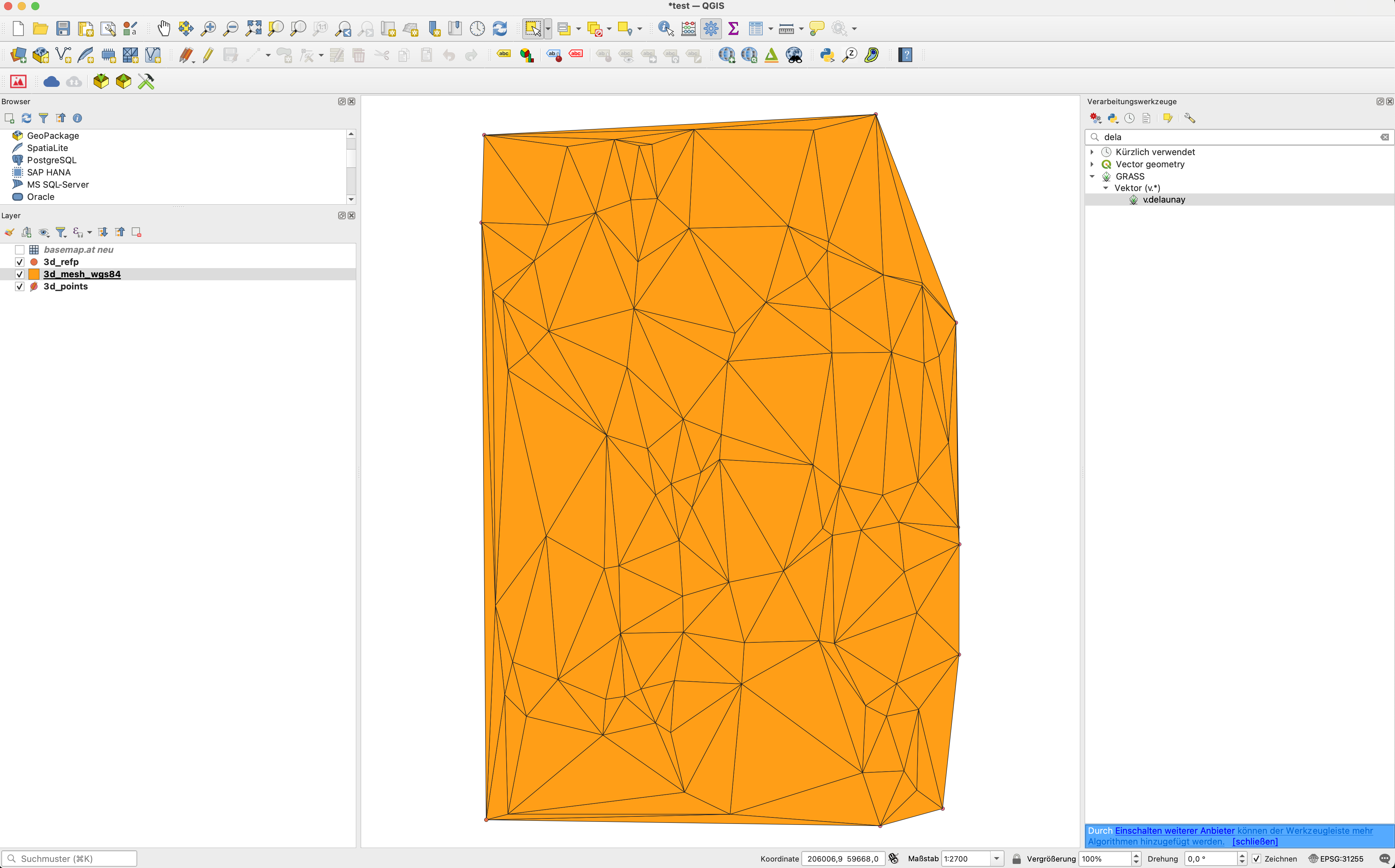
We now use Delaunay Triangulation to create a polygon mesh. Use the toolbox (Gears icon below):
In the search bar, type “delaunay”:
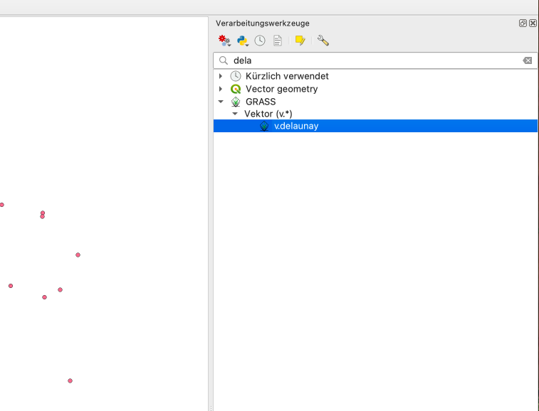
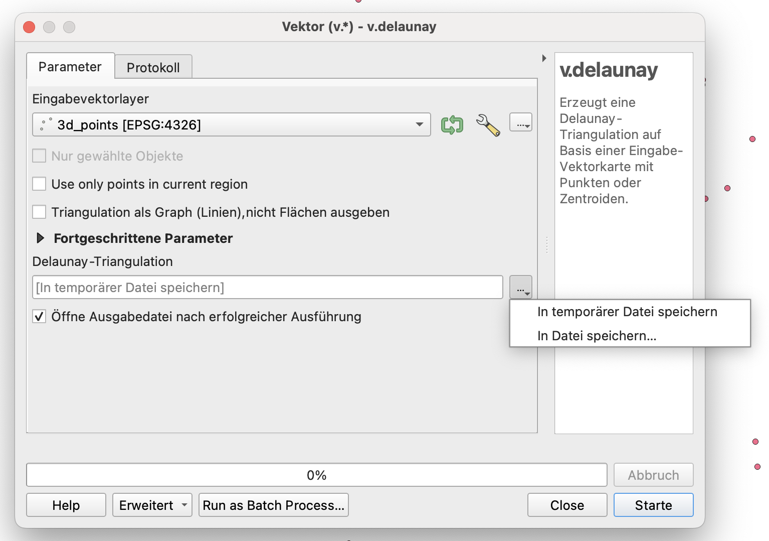
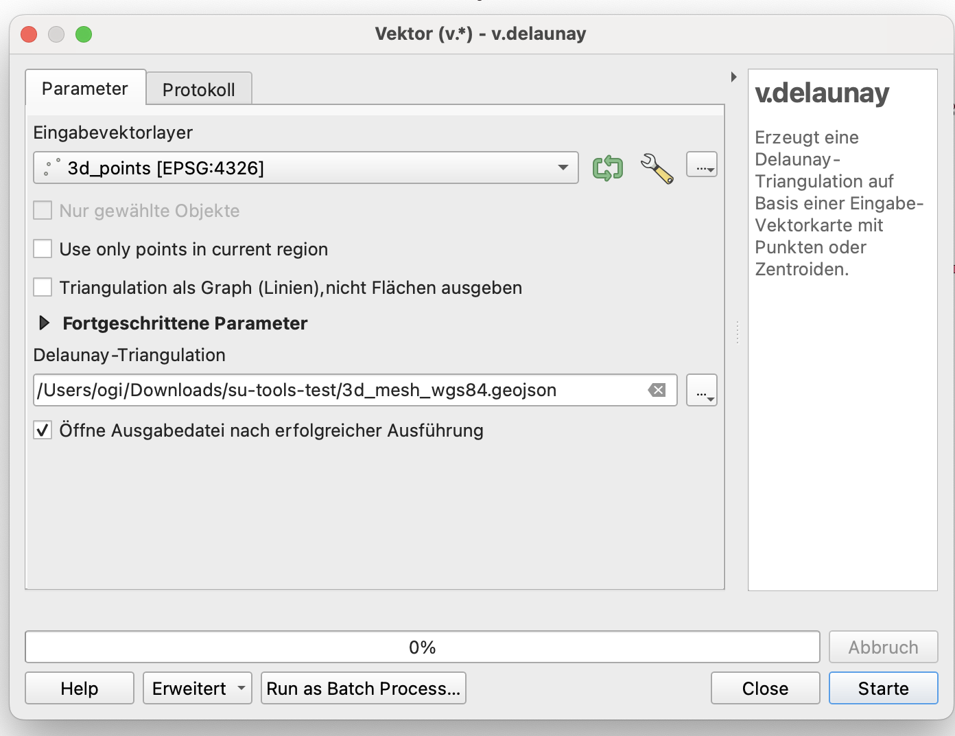
It is important to use v.delaunay from GRASS, since the other one is only 2D. Don’t write the output into a temporary file, since it will be 2D.
Write the v.delaunay result into a GeoJSON file. This file can’t be used directly since it is in WGS84.
Therefore, load this v.delaunay result into QGIS and then export it in the correct projection as GeoJSON.
Here are the steps as screenshots:
After entering the file name, the tool window “disappears” behind the main QGIS window … click on it to bring it back on top:
Run the v.delaunay tool:
Close the Delaunay Triangulation window.
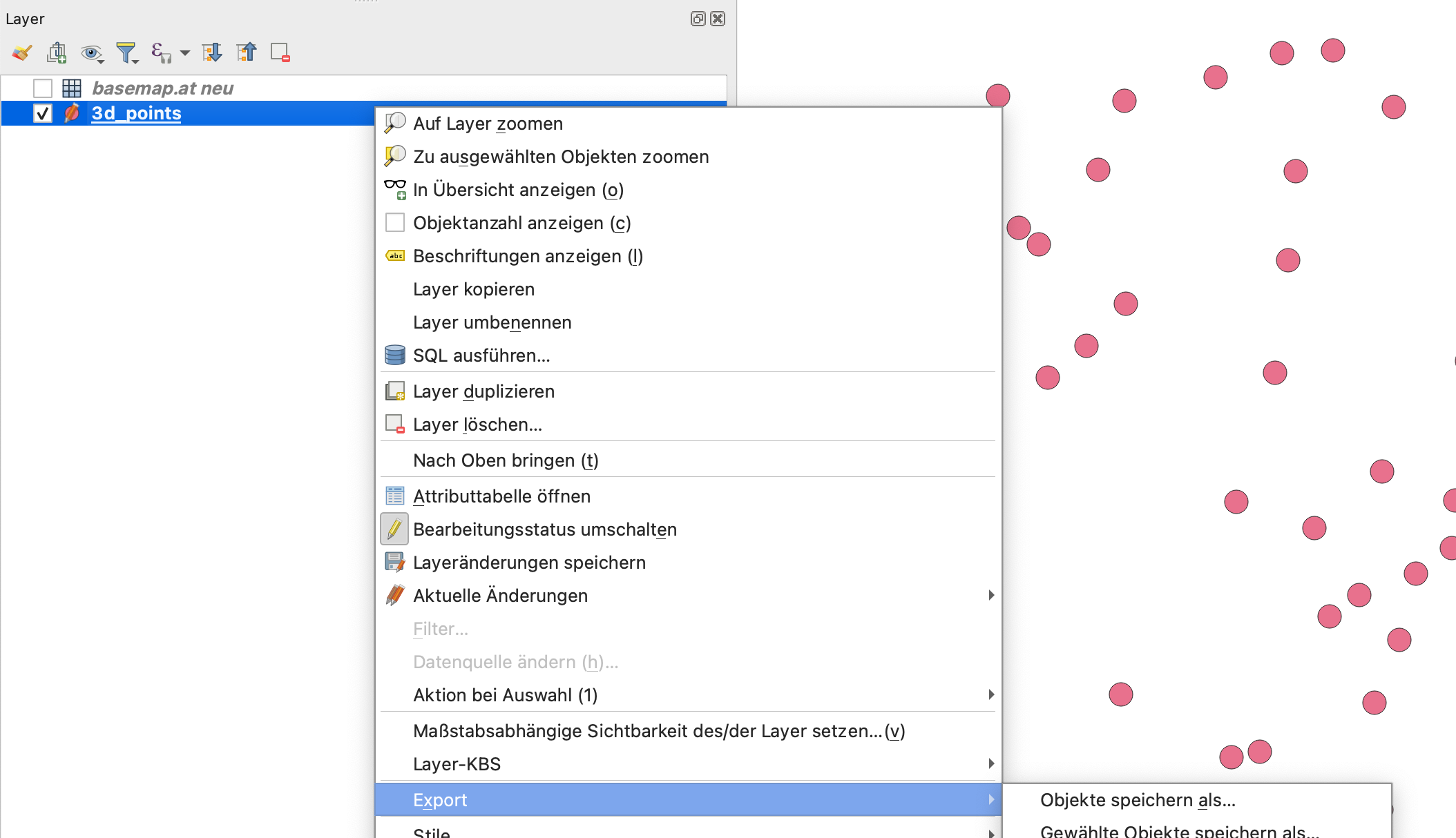
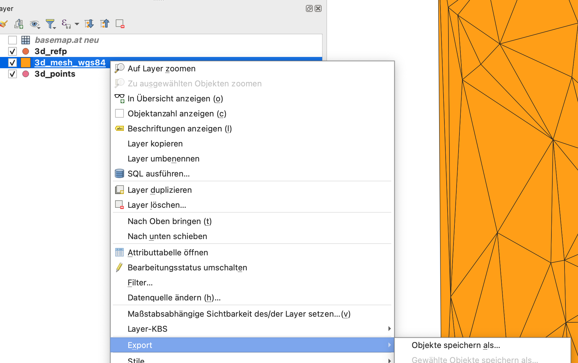
Export the result as GeoJSON by right-clicking on the layer:
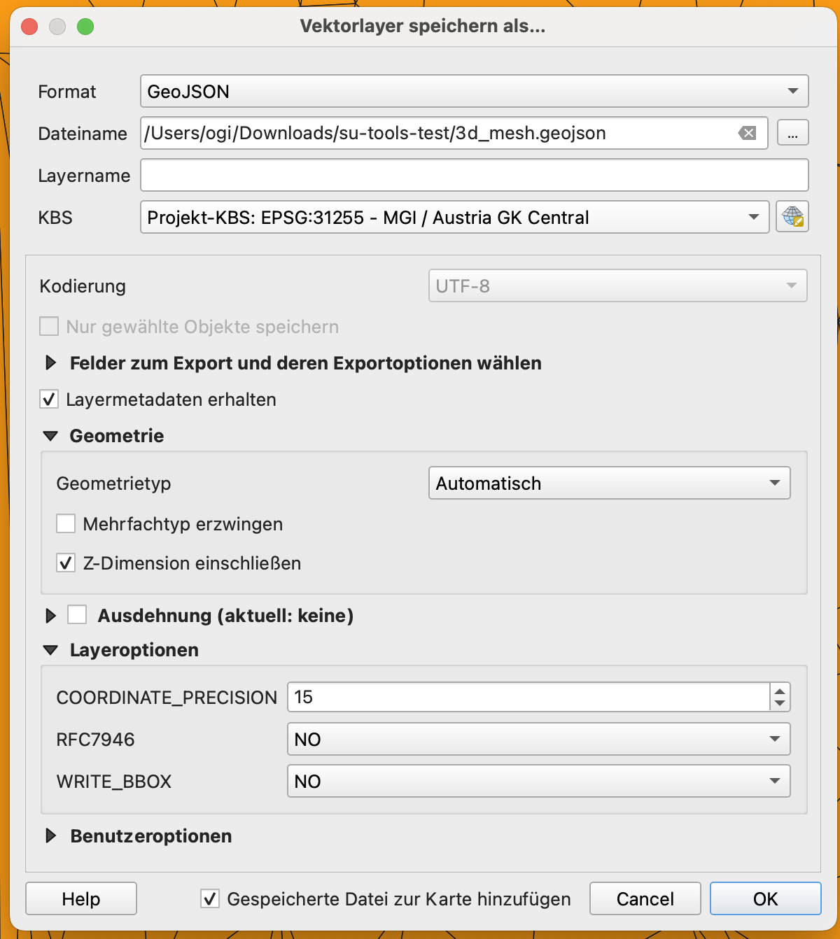
When exporting, it is important to use the project coordinate system (here EPSG:31255) and include Z dimensions:

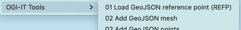
Import the GeoJSON terrain data into Sketchup
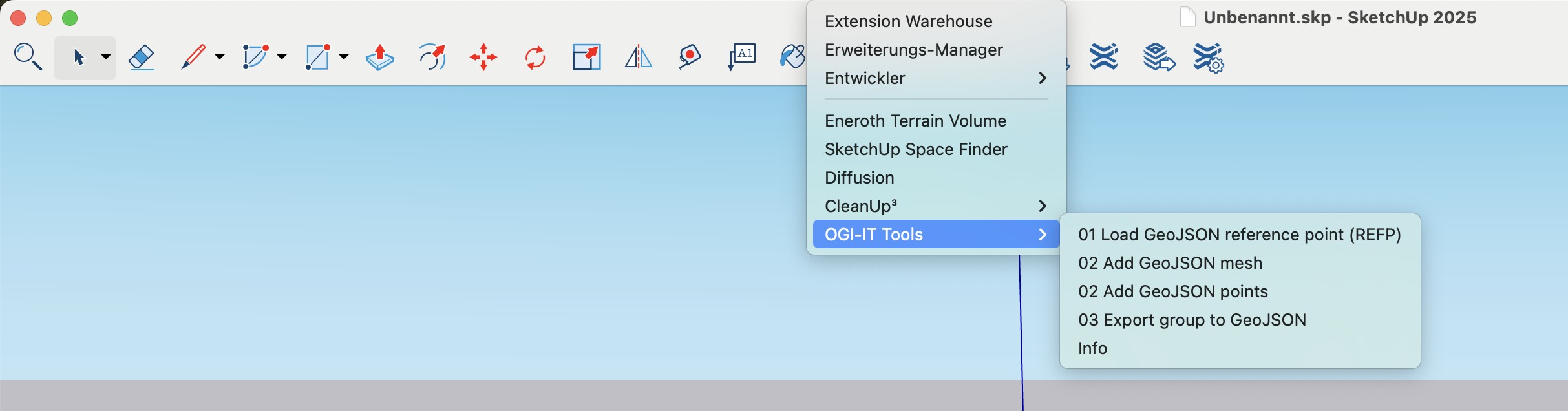
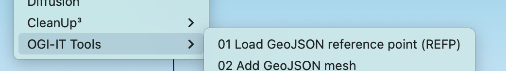
Open SketchUp with the installed extension:
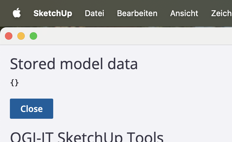
Open the Info to see that there is no reference point in the project:
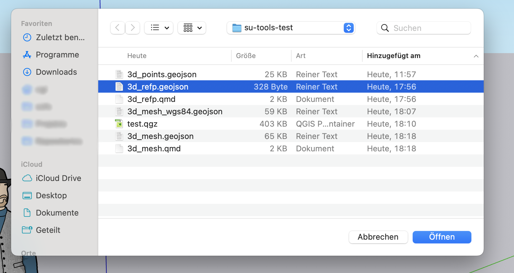
Load the reference point:
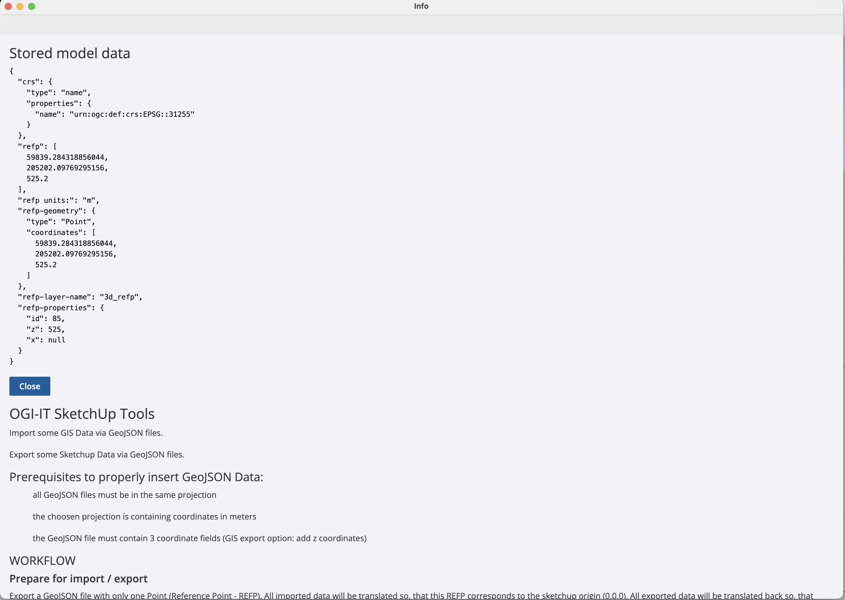
Verify that the information was read via Info:
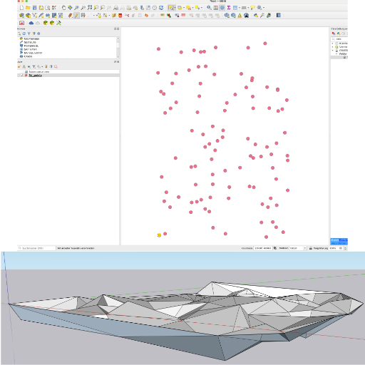
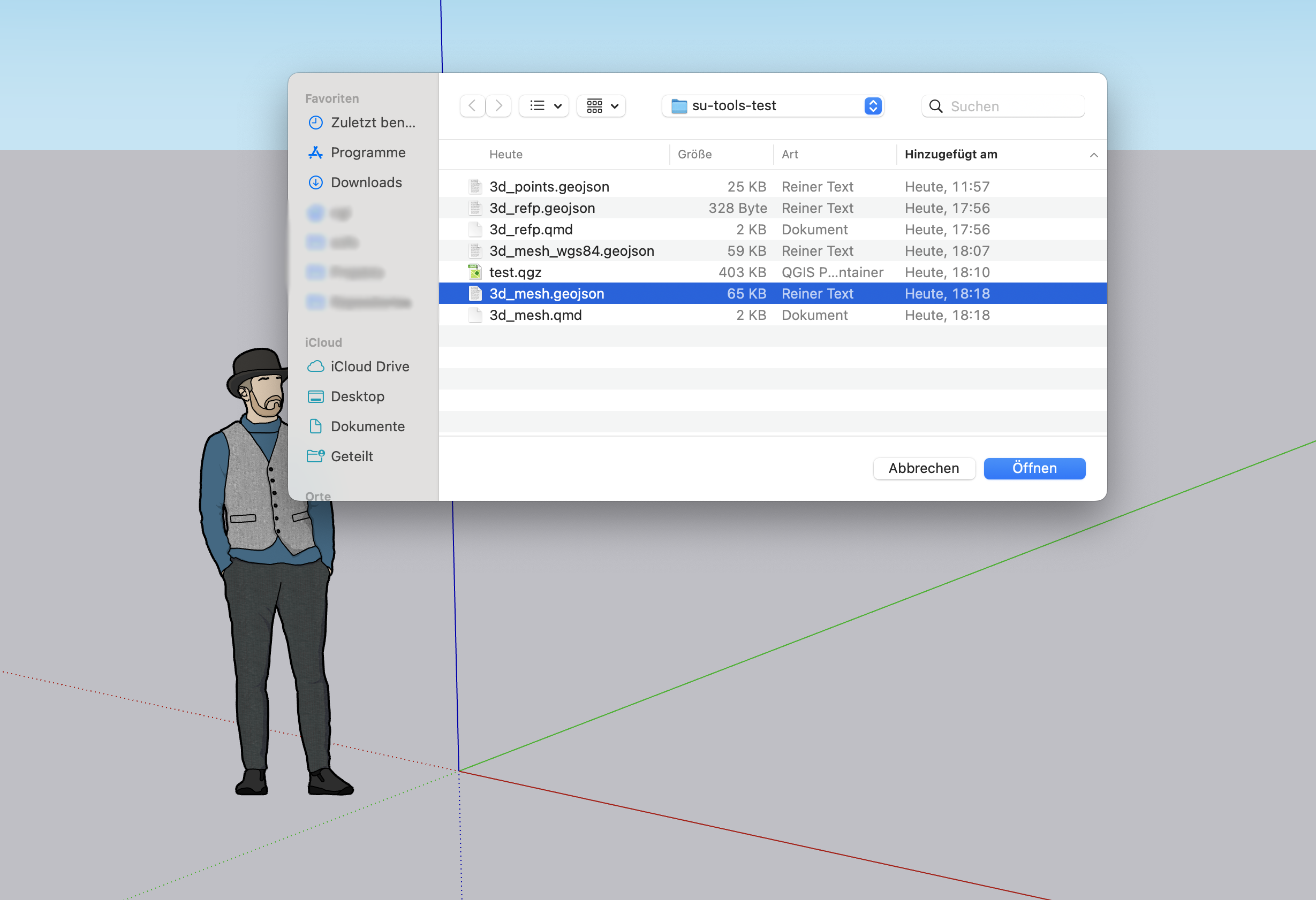
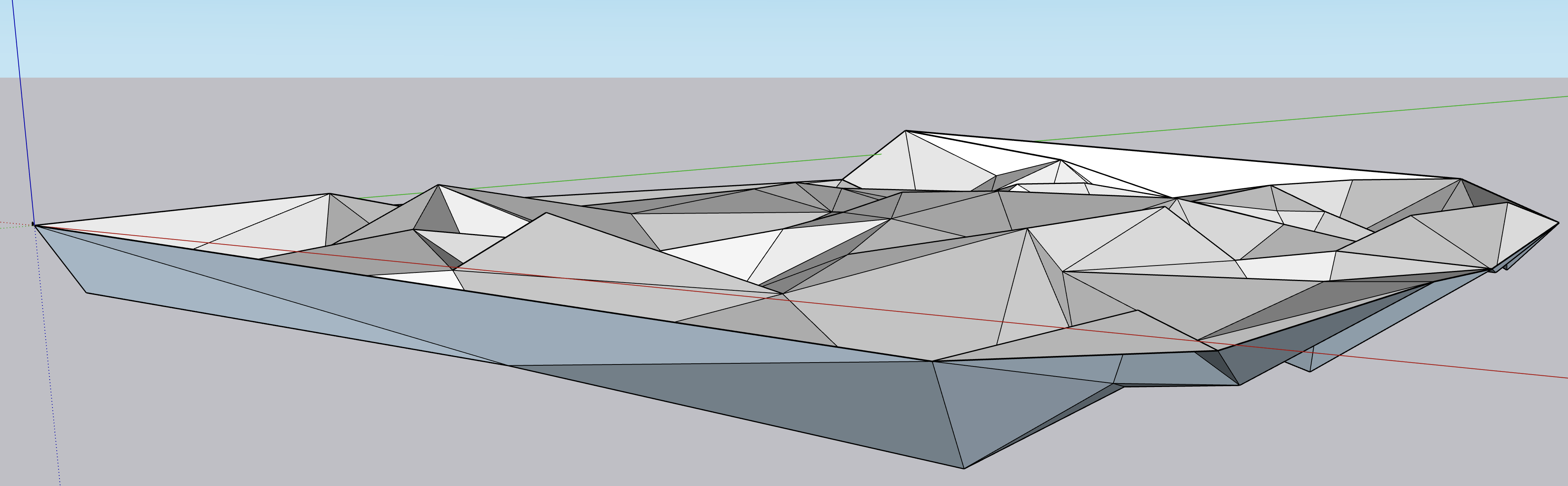
Now you can import the mesh:
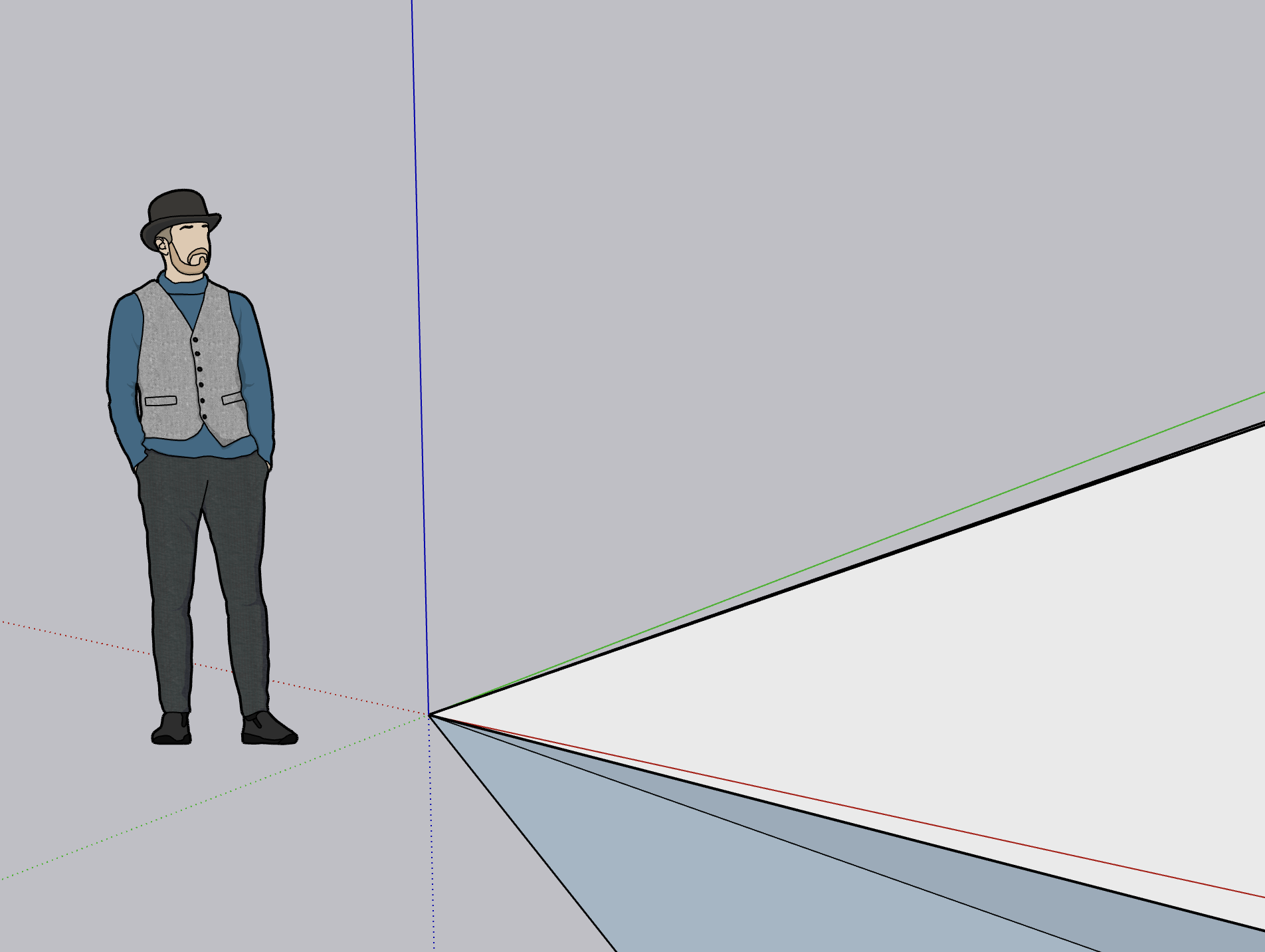
After clicking on “Zoom to All”:
Export house edges to GIS
Now draw a house in SketchUp:
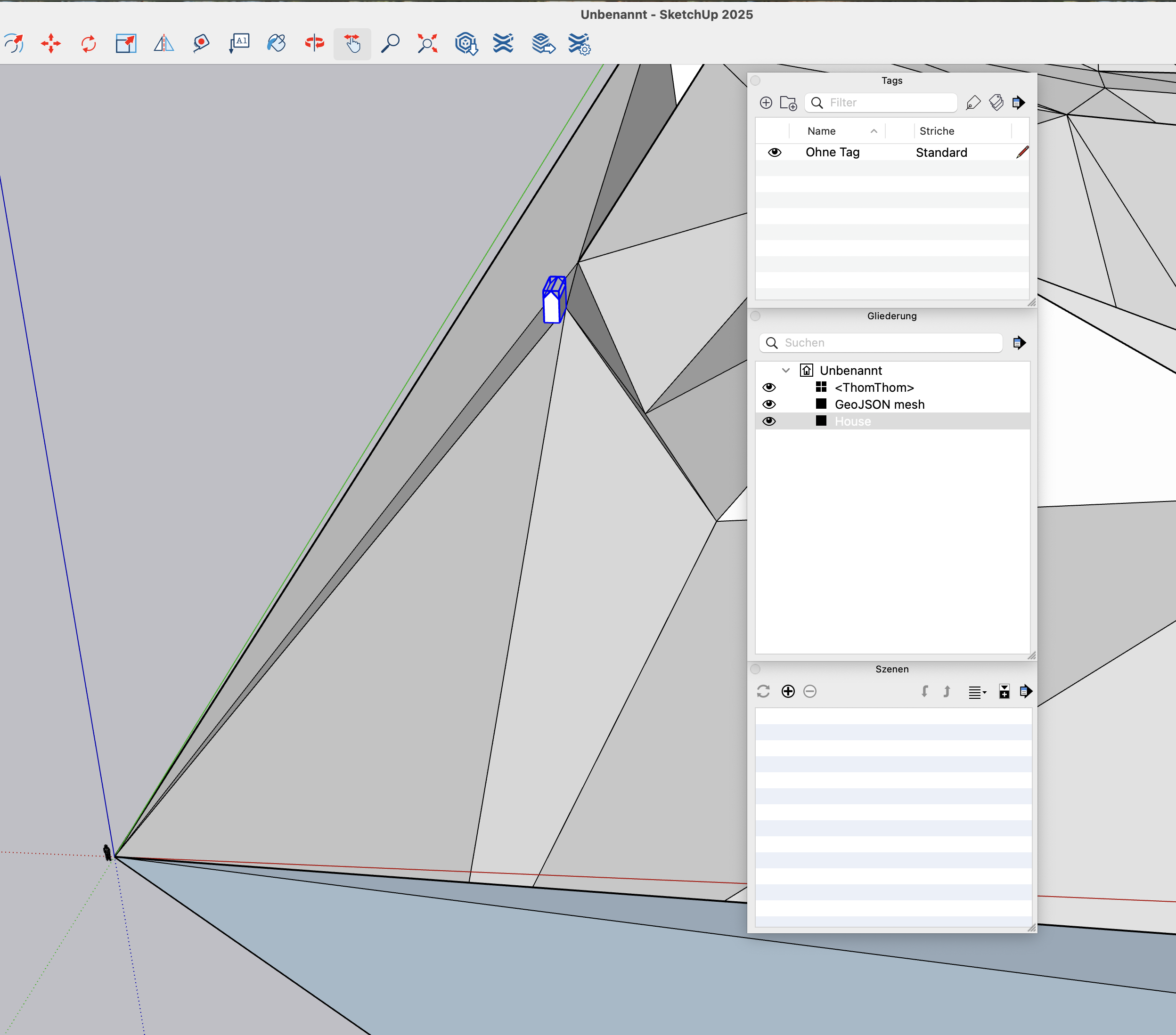
Leave the house selected:
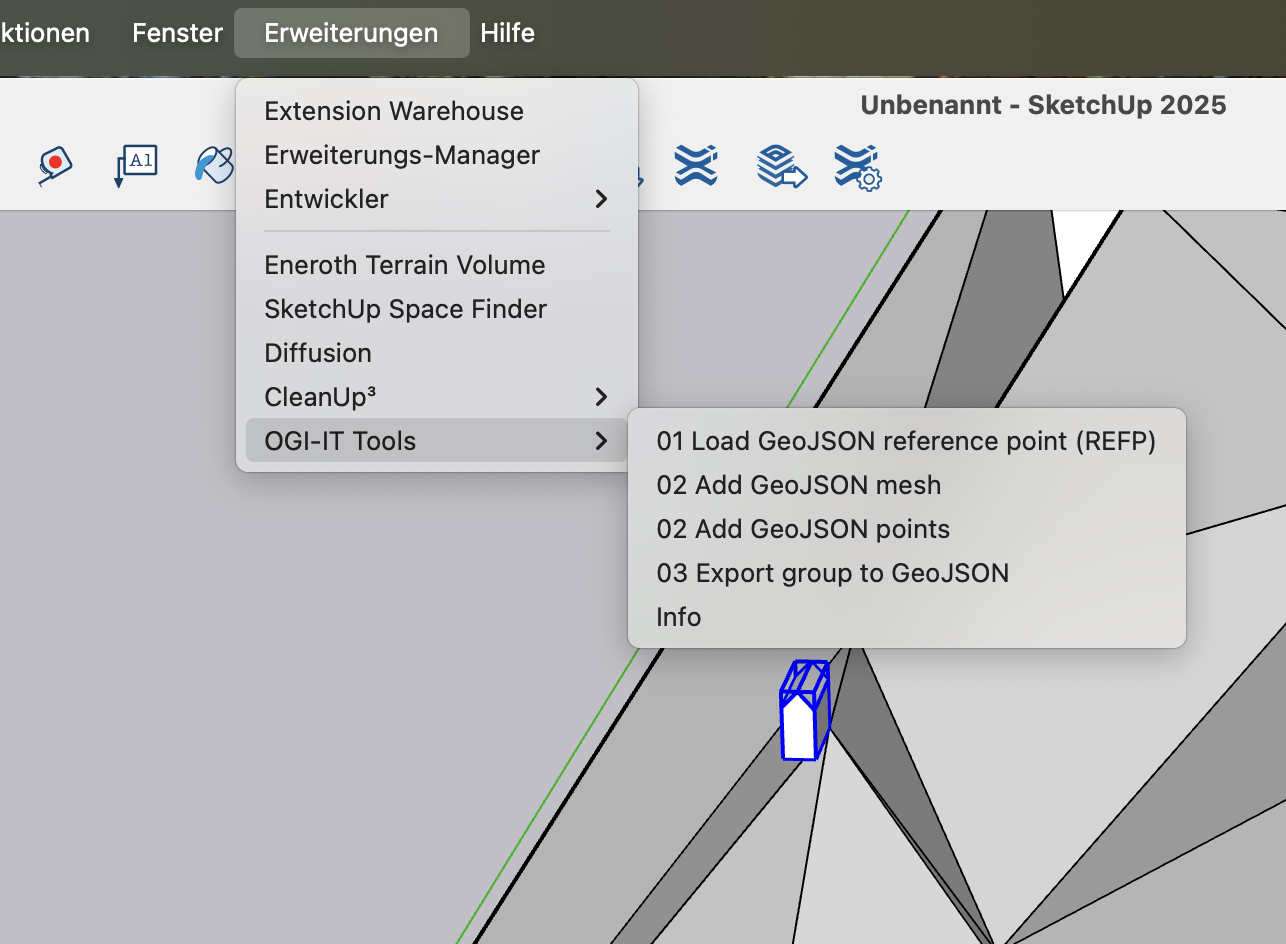
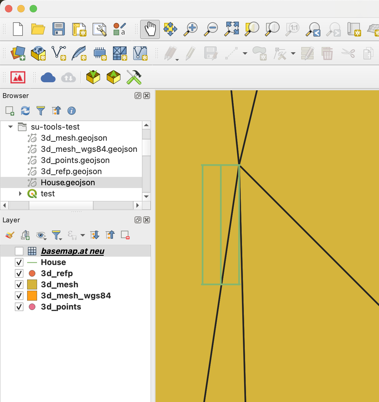
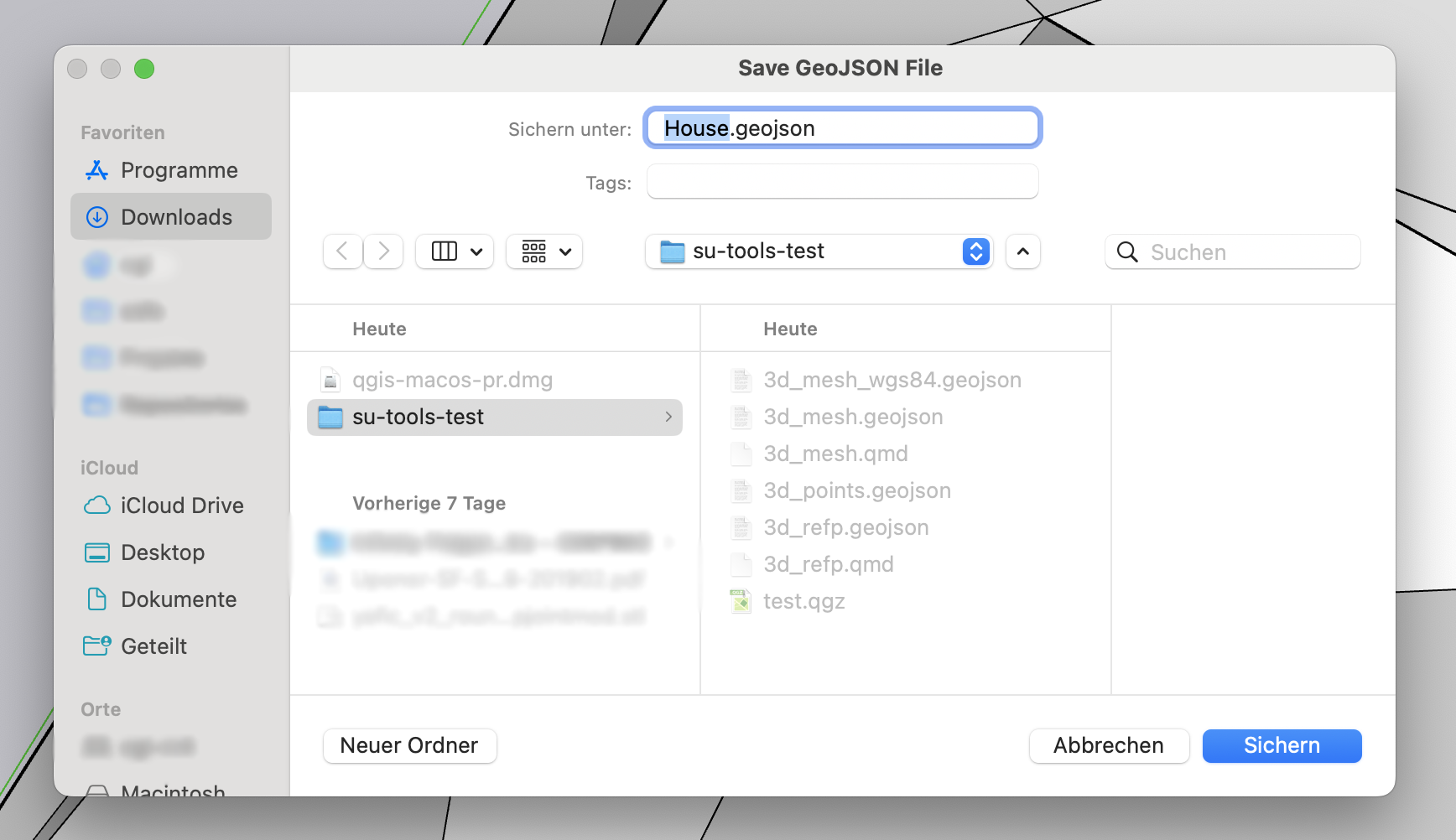
Export the group to GeoJSON:
Import into QGIS (to get the house better visible, I increased the zoom to 350%):